Special collections: maps

Introduction

The Bodleian Library houses one of the world’s principal cartographic collections, amounting to around 1,500,000 maps and 20,000 atlases, along with a rapidly increasing amount of cartographic data.

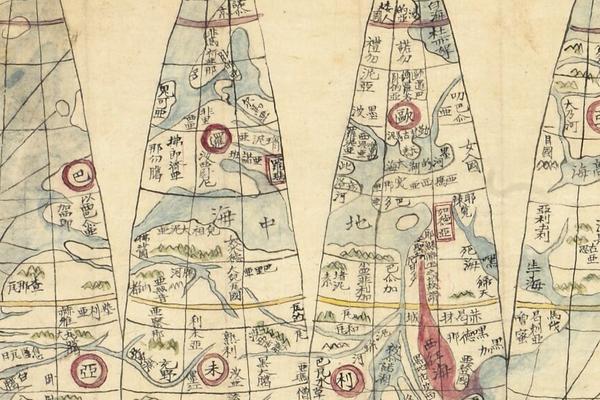
The map collection consists of maps from all parts of the globe, with topographic and thematic maps dating from medieval times to the present day. In addition to maps and atlases, the Rare Books and Manuscripts Reading Room at the Weston Library holds a comprehensive collection of journals, immediately accessible to readers on the bookshelves, with subject matter concentrating on maps and cartography. Mapping produced by overseas national surveys worldwide can be consulted, ranging from commonly available European and North American output to more recently accessible Soviet-produced material.

As a library of legal deposit, the Bodleian assumes not only a university-wide role, but also a national and international one as a result of the wealth of its holdings. Deposit of Ordnance Survey material has resulted in an almost complete collection of OS mapping being held in the Library. Ordnance Survey itself was bombed in the Second World War, so their own collection is far from complete. Current digital OS mapping is updated annually for the whole of Great Britain and can be viewed on a dedicated terminal in the reading room.

Antiquarian mapping

The antiquarian (pre-1850) collection is considerable, including the c.1390 “Gough Map”, the oldest surviving route map of Great Britain.

Some other notable holdings are:

  • the Todhunter Allen collection
  • portolan charts
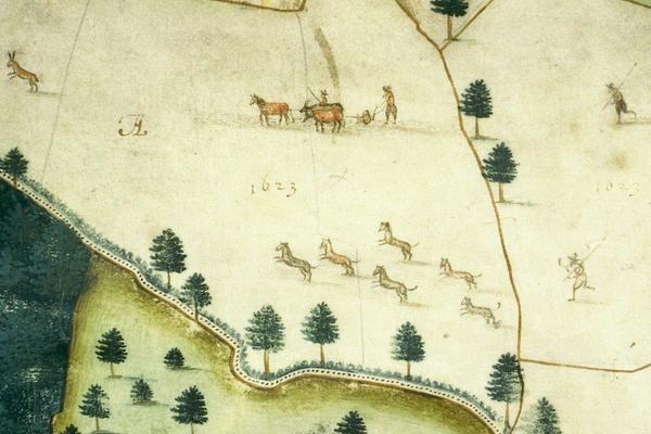
  • numerous (primarily English) estate plans, for example the Laxton Map of 1635
  • the Agas Map of Oxford (1578)
  • Hamond’s map of Cambridge (1592).

The Todhunter Allen Collection

This collection consists of over 700 items of cartographic significance, illustrating the development of British cartography through almost three centuries. It was collected by Hugh Todhunter and was bequeathed to George Eldred Allen who in his turn increased it significantly.

There are 113 county atlases on England and Wales, dating between 1617 and 1885. They are made up of maps of individual counties which were usually published separately. As a result, the make-up of individual atlases varies depending on the state of the maps going into it. It is this variation in state and edition which makes the Allen collection so important. Some of the atlases are present in a variety of states - some of which are unique. In several cases the atlases are the only copy available in a public collection.

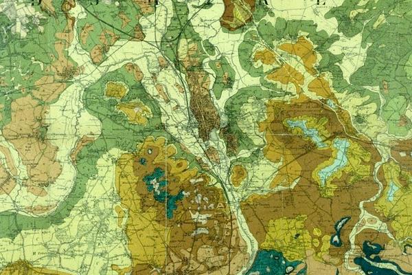
Also in the collection are county maps, mostly from the late 18th or early 19th centuries. About one third of these are large scale, giving more accurate description of life and landscape in the individual county than the earlier small scale maps. Further parts of the collection include two sets of the first edition one-inch Ordnance Survey maps, and thematic material such as railway, canal, road and geological atlases.

For more information about our map collections and how to use them, visit the Map Room webpages.