Radcliffe Science Library
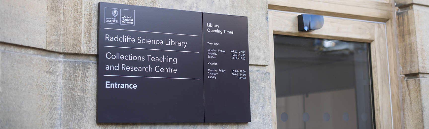
Opening hours
Term time
We are open:
Monday – Friday: 9am – 10pm
Saturday: 10am – 4pm
Sunday: 11am – 5pm
Vacation
From Monday 22 June we will be open:
Monday – Friday: 9am – 7pm
Saturday: 10am – 2pm
Contact us
enquiries.rsl@bodleian.ox.ac.uk
(+44) 01865 272800
(+44) 01865 272851
Follow us
About the library
The Radcliffe Science Library (RSL) is Oxford University's main teaching and research science library.
Find us
Radcliffe Science Library
Parks Road
Oxford
OX1 3QP